
Soubor:Mongolei-Topografie,Atlas1903.JPG
Původní soubor (879 × 725 pixelů, velikost souboru: 167 KB, MIME typ: image/jpeg)
| Tento soubor pochází z Wikimedia Commons. Níže jsou zobrazeny informace, které obsahuje jeho tamější stránka s popisem souboru. |
| Popis |
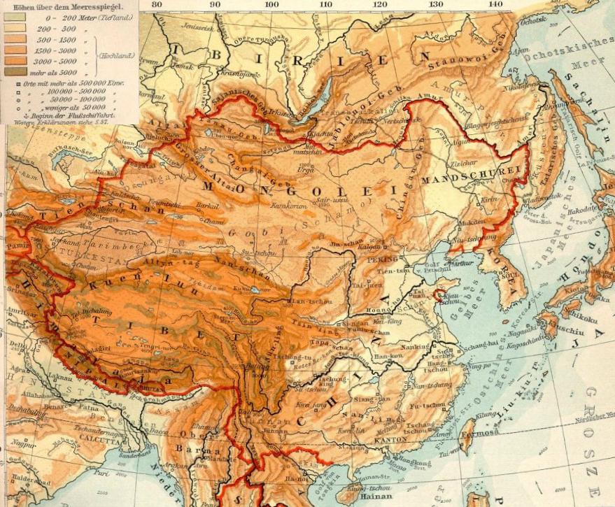
Deutsch: Topografie der Mongolei |
| Datum | |
| Zdroj | Na Commons přeneseno z de.wikipedia. See also Datei:OstasienTopografie.jpg, Ausschnitt aus Verhagen-Atlas 1903) |
| Autor | Geof (Bearb. +Kartenlegende) |
Licence
|
Toto dílo je volné také v zemích, jejichž právní řád chrání majetková autorská práva po dobu života autora a 70 let po jeho smrti.
| |
| Bylo zjištěno, že u tohoto souboru nejsou známa žádná omezení daná autorským právem a právy s ním souvisejícími. | |
Původní historie souboru
- 2009-03-25 17:12 Geof 871×621× (194656 bytes) {{Information |Beschreibung = Topografie der Mongolei |Quelle = [Datei:OstasienTopografie.jpg], Ausschnitt aus Verhagen-Atlas 1903 |Urheber = Geof (Bearb. +Kartenlegende) |Datum = 25.3.2009 |Andere Versionen = |Anmerkungen = }}
| Poznámky | K tomuto souboru existují poznámky: Prohlédnout si poznámky na Commons |
Historie souboru
Kliknutím na datum a čas se zobrazí tehdejší verze souboru.
| Datum a čas | Náhled | Rozměry | Uživatel | Komentář | |
|---|---|---|---|---|---|
| současná | 11. 10. 2019, 17:06 | | 879 × 725 (167 KB) | Бмхүн | {{DEFAULTSORT:}} |
| 11. 10. 2019, 17:04 |  | 879 × 725 (892 KB) | Бмхүн | {{NAMESPACE}}{{DEFAULTSORT:<languages/><code><nowiki></nowiki></code>}} | |
| 15. 11. 2009, 11:23 |  | 871 × 621 (190 KB) | Gikü | {{Information |Description={{de|Topografie der Mongolei}} |Source=Transferred from [http://de.wikipedia.org de.wikipedia]. See also de::Datei:OstasienTopografie.jpg, Ausschnitt aus Verhagen-Atlas 1903'') |Date={{Date|2009|03|25}} |Author=Geof (Bearb |
Využití souboru
Tento soubor používá následující stránka:
Globální využití souboru
Tento soubor využívají následující wiki:
- Využití na ba.wikipedia.org
- Využití na bn.wikipedia.org
- Využití na ca.wikipedia.org
- Využití na de.wikipedia.org
- Využití na el.wikipedia.org
- Využití na en.wikipedia.org
- Využití na eo.wikipedia.org
- Využití na es.wikipedia.org
- Využití na eu.wikipedia.org
- Využití na fa.wikipedia.org
- Využití na fi.wikipedia.org
- Využití na gl.wikipedia.org
- Využití na hr.wikipedia.org
- Využití na it.wikipedia.org
- Využití na ml.wikipedia.org
- Využití na mn.wikipedia.org
- Využití na no.wikipedia.org
- Využití na ro.wikipedia.org
- Využití na sl.wikipedia.org
- Využití na sr.wikipedia.org
- Využití na sw.wikipedia.org
- Využití na tr.wikipedia.org
- Využití na www.wikidata.org
- Využití na zh.wikipedia.org