
Soubor:Map of Kentucky highlighting Fulton County.svg

Velikost tohoto PNG náhledu tohoto SVG souboru: 800 × 345 pixelů. Jiná rozlišení: 320 × 138 pixelů | 640 × 276 pixelů | 1 024 × 441 pixelů | 1 280 × 551 pixelů | 2 560 × 1 103 pixelů | 6 770 × 2 916 pixelů.
Původní soubor (soubor SVG, nominální rozměr: 6 770 × 2 916 pixelů, velikost souboru: 127 KB)
| Tento soubor pochází z Wikimedia Commons. Níže jsou zobrazeny informace, které obsahuje jeho tamější stránka s popisem souboru. |
Popis
| Popis |
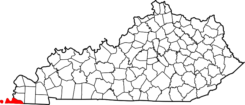
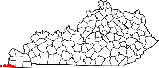
English: This is a locator map showing Fulton County in Kentucky. For more information, see Commons:United States county locator maps. |
| Datum | |
| Zdroj |
Vlastní dílo: English: The maps use data from nationalatlas.gov, specifically countyp020.tar.gz on the Raw Data Download page. The maps also use state outline data from statesp020.tar.gz. The Florida maps use hydrogm020.tar.gz to display Lake Okeechobee. |
| Autor | David Benbennick |
Licence
| Já, autor tohoto díla, jej tímto uvolňuji jako volné dílo, a to celosvětově. V některých zemích to není podle zákona možné; v takovém případě: Poskytuji komukoli právo užívat toto dílo za libovolným účelem, a to bezpodmínečně s výjimkou podmínek vyžadovaných zákonem. |
Historie souboru
Kliknutím na datum a čas se zobrazí tehdejší verze souboru.
| Datum a čas | Náhled | Rozměry | Uživatel | Komentář | |
|---|---|---|---|---|---|
| současná | 12. 2. 2006, 14:21 | | 6 770 × 2 916 (127 KB) | David Benbennick | {{subst:User:Dbenbenn/clm|county=Fulton County|state=Kentucky}} |
Využití souboru
Tento soubor používá následující stránka:
Globální využití souboru
Tento soubor využívají následující wiki:
- Využití na ar.wikipedia.org
- Využití na azb.wikipedia.org
- Využití na bg.wikipedia.org
- Využití na bpy.wikipedia.org
- Využití na cdo.wikipedia.org
- Využití na ceb.wikipedia.org
- Využití na ce.wikipedia.org
- Využití na cy.wikipedia.org
- Využití na de.wikipedia.org
- Využití na el.wikipedia.org
- Využití na en.wikipedia.org
- Fulton County, Kentucky
- Fulton, Kentucky
- Hickman, Kentucky
- Kentucky Bend
- List of counties in Kentucky
- Cayce, Kentucky
- Reelfoot National Wildlife Refuge
- Template:Fulton County, Kentucky
- User:Nyttend/County templates/KY/1
- National Register of Historic Places listings in Fulton County, Kentucky
- Adams site
- Fulton High School (Kentucky)
- Category:Populated places in Fulton County, Kentucky
- Bondurant, Kentucky
- Tyler, Kentucky
- Brownsville, Fulton County, Kentucky
- Crutchfield, Kentucky
- Riceville, Fulton County, Kentucky
- Mabel, Kentucky
- Miller, Fulton County, Kentucky
- Jordan, Kentucky
- State Line, Kentucky
- Sassafras Ridge, Kentucky
- Template:FultonCountyKY-geo-stub
- Bayou de Chien
- Využití na eo.wikipedia.org
- Využití na es.wikipedia.org
- Využití na et.wikipedia.org
- Využití na eu.wikipedia.org
- Využití na fa.wikipedia.org
Zobrazit další globální využití tohoto souboru.