
Soubor:Karte A Ktn FE.svg

Velikost tohoto PNG náhledu tohoto SVG souboru: 800 × 384 pixelů. Jiná rozlišení: 320 × 154 pixelů | 640 × 307 pixelů | 1 024 × 492 pixelů | 1 280 × 614 pixelů | 2 560 × 1 229 pixelů | 1 000 × 480 pixelů.
Původní soubor (soubor SVG, nominální rozměr: 1 000 × 480 pixelů, velikost souboru: 20 KB)
| Tento soubor pochází z Wikimedia Commons. Níže jsou zobrazeny informace, které obsahuje jeho tamější stránka s popisem souboru. |
Popis
| Popis |
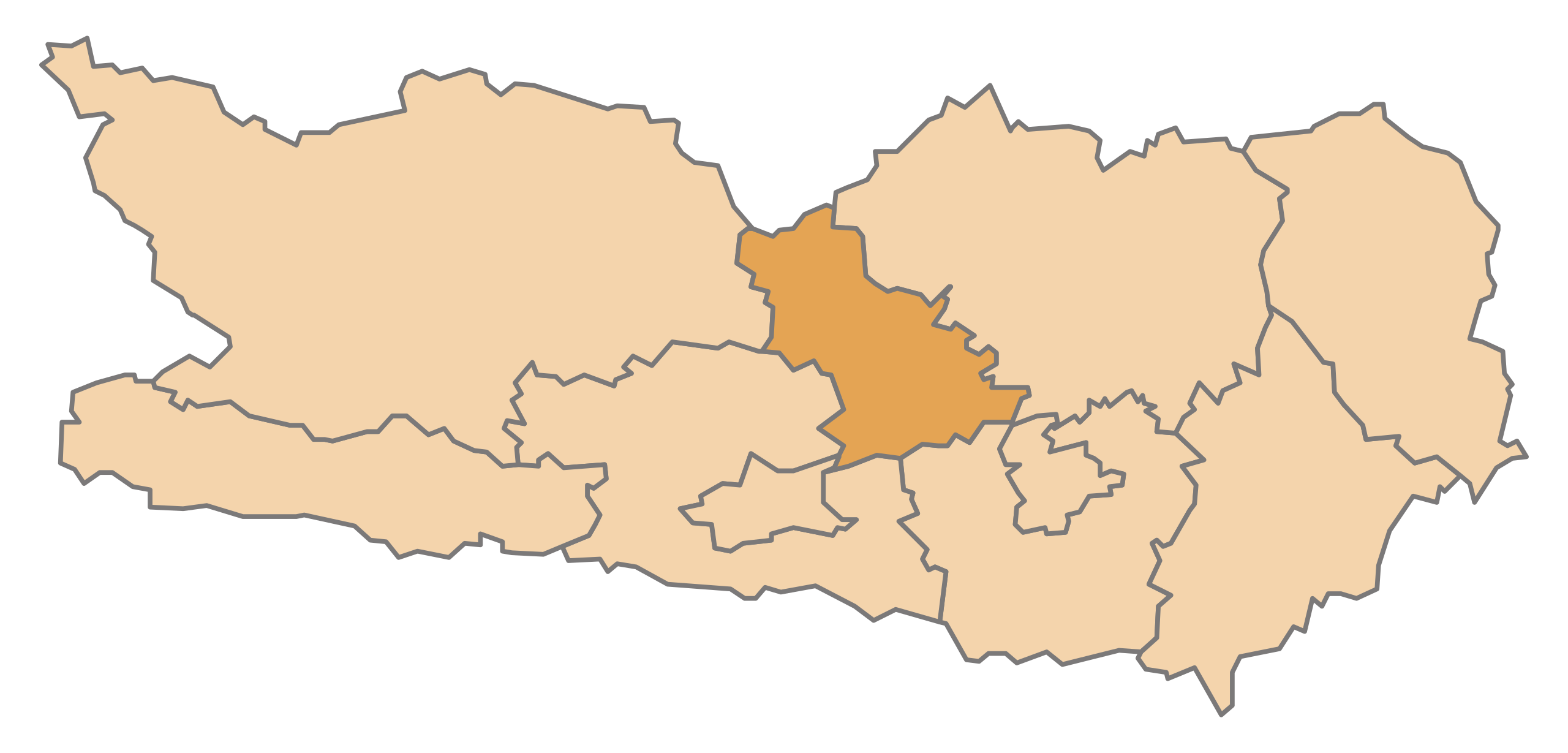
English: Map of the Austrian State Carinthia, highlighting Feldkirchen
Deutsch: Karte des österreichischen Bundeslandes Kärnten, Feldkirchen hervorgehoben |
| Datum | |
| Zdroj | Vlastní dílo |
| Autor | AleXXw |
Licence
| Já, autor tohoto díla, jej tímto uvolňuji jako volné dílo, a to celosvětově. V některých zemích to není podle zákona možné; v takovém případě: Poskytuji komukoli právo užívat toto dílo za libovolným účelem, a to bezpodmínečně s výjimkou podmínek vyžadovaných zákonem. |
Historie souboru
Kliknutím na datum a čas se zobrazí tehdejší verze souboru.
| Datum a čas | Náhled | Rozměry | Uživatel | Komentář | |
|---|---|---|---|---|---|
| současná | 13. 5. 2009, 22:41 | | 1 000 × 480 (20 KB) | AleXXw | == Beschreibung == {{Information |Description={{en|1=Map of the Austrian State Carinthia, highlighting Feldkirchen}} {{de|1=Karte des österreichischen Bundeslandes Kärnten, Feldkirchen hervorgehoben}} |Source=Eigenes Werk (own work) |Author=[[User:AleXX |
Využití souboru
Tento soubor používá následující stránka:
Globální využití souboru
Tento soubor využívají následující wiki:
- Využití na de.wikipedia.org
- Bezirk Feldkirchen
- Ossiach
- Feldkirchen in Kärnten
- Vorlage:Navigationsleiste Städte und Gemeinden im Bezirk Feldkirchen
- Reichenau (Kärnten)
- Gnesau
- Himmelberg
- Sankt Urban (Kärnten)
- Albeck (Kärnten)
- Steindorf am Ossiacher See
- Glanegg
- Steuerberg
- Liste der politischen Bezirke von Kärnten
- Denkmalgeschützte Objekte im Bezirk Feldkirchen
- Wikipedia:WikiProjekt Österreich/checks/Navis/Kärnten
- Využití na eo.wikipedia.org
- Využití na et.wikipedia.org
- Využití na it.wikipedia.org
- Využití na ja.wikipedia.org
- Využití na lv.wikipedia.org
- Využití na nn.wikipedia.org
- Využití na pt.wikipedia.org
- Využití na sh.wikipedia.org
- Využití na sk.wikipedia.org
- Využití na sv.wikipedia.org